 vesseltracker.com
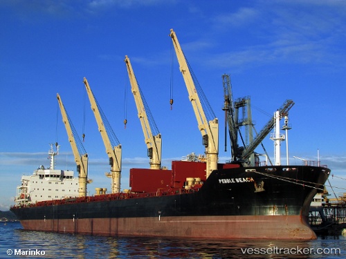
 PEBBLE BEACH
Current Status
Where is the vessel?
PEBBLE BEACH is currently in Near Tanjung Perak, based on AIS data received about 1d ago.
Latest AIS update:
Current position: 7.19711° S, 112.72795° E (Near Tanjung Perak)
Average speed (last 7 days): Loading…
Average speed (last 30 days): Loading…
Vessel profile: PEBBLE BEACH is a Bulk Carrier with dimensions m x m.
This page combines live AIS, route history, probable destination signals, nearby traffic, and port activity for practical vessel monitoring.
The current position of vessel PEBBLE BEACH is -7.19711 lat / 112.72795 lng. Updated: 2026-04-10 08:10:08 UTCNearest reference points:
- Near Tanjung Perak
- Near Tanjong Perak
- Near Kalianak Barat
Currently sailing under the flag of Antigua and Barbuda ![]()
Details:
Live Vessel PEBBLE BEACH Analytics (details, animations, etc.)
Recent AIS points (UTC):
2026-04-10 01:40:09 UTC · -7.19715, 112.72793 · SOG 0 kn · COG 77°2026-04-10 04:10:08 UTC · -7.19710, 112.72795 · SOG 0 kn · COG 77°
2026-04-10 05:52:07 UTC · -7.19712, 112.72792 · SOG 0 kn · COG 77°
2026-04-10 08:10:08 UTC · -7.19711, 112.72795 · SOG 0 kn · COG 77°