 vesseltracker.com
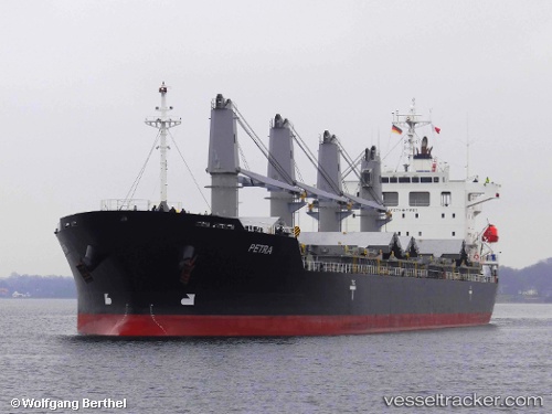
 PETRA
PETRA
Current Status
Where is the vessel?
PETRA is currently in Near Panama Canal, based on AIS data received less than 1h ago.
Latest AIS update:
Current position: 9.11895° N, 79.73708° W (Near Panama Canal)
Average speed (last 7 days): Loading…
Average speed (last 30 days): Loading…
Vessel profile: PETRA is a General Cargo Ship with dimensions 29m x 180m.
This page combines live AIS, route history, probable destination signals, nearby traffic, and port activity for practical vessel monitoring.
The current position of vessel PETRA is 9.11895 lat / -79.73708 lng. Updated: 2026-03-30 15:56:45 UTCNearest reference points:
- Near Panama Canal
- Near Cocoli
- Near Fuerte Davis
Currently sailing under the flag of Marshall Islands ![]()
PETRA built in 2011 year
Deadweight:
33688 tDetails:
Live Vessel PETRA Analytics (details, animations, etc.)
Recent AIS points (UTC):
2026-03-30 09:41:24 UTC · 9.36918, -79.92542 · SOG 0.2 kn · COG 29°2026-03-30 11:54:15 UTC · 9.27137, -79.92350 · SOG 0 kn · COG 189°
2026-03-30 13:43:15 UTC · 9.18247, -79.87434 · SOG 4.3 kn · COG 121°
2026-03-30 15:56:45 UTC · 9.11895, -79.73708 · SOG 8.7 kn · COG 99°