 vesseltracker.com
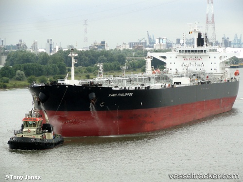
 KING PHILIPPOS
Current Status
Where is the vessel?
KING PHILIPPOS is currently in 95 nm NE of Pinelands, based on AIS data received about 1h ago.
Latest AIS update:
Current position: 35.21019° N, 19.59425° E (95 nm NE of Pinelands)
Average speed (last 7 days): Loading…
Average speed (last 30 days): Loading…
Vessel profile: KING PHILIPPOS is a Crude Oil Tanker with dimensions 44m x 250m.
This page combines live AIS, route history, probable destination signals, nearby traffic, and port activity for practical vessel monitoring.
The current position of vessel KING PHILIPPOS is 35.21019 lat / 19.59425 lng. Updated: 2026-03-28 09:13:51 UTCNearest reference points:
- 71 nm N of Pinelands
- 73 nm N of Pinelands
- 103 nm NE of Ryuo
Currently sailing under the flag of Marshall Islands ![]()
KING PHILIPPOS built in 2012 year
Deadweight:
111827 tDetails:
Live Vessel KING PHILIPPOS Analytics (details, animations, etc.)
Recent AIS points (UTC):
2026-03-28 03:54:49 UTC · 34.90616, 20.85788 · SOG 12.3 kn · COG 285°2026-03-28 05:59:51 UTC · 35.00892, 20.35831 · SOG 12.2 kn · COG 281°
2026-03-28 07:12:15 UTC · 35.09500, 20.07167 · SOG 12 kn · COG -1°
2026-03-28 09:13:51 UTC · 35.21019, 19.59425 · SOG 12 kn · COG 280°