 vesseltracker.com
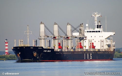
 LADY MARY
Current Status
Where is the vessel?
LADY MARY is currently in Near Maceio, based on AIS data received about 2h ago.
Latest AIS update:
Current position: 9.70974° S, 35.73092° W (Near Maceio)
Average speed (last 7 days): Loading…
Average speed (last 30 days): Loading…
Vessel profile: LADY MARY is a Bulk Carrier with dimensions m x m.
This page combines live AIS, route history, probable destination signals, nearby traffic, and port activity for practical vessel monitoring.
The current position of vessel LADY MARY is -9.70974 lat / -35.73092 lng. Updated: 2026-03-28 15:31:10 UTCNearest reference points:
- Near Suape
- Near Barra dos Coqueiros
- Near Aracaju
Currently sailing under the flag of Barbados ![]()
Details:
Live Vessel LADY MARY Analytics (details, animations, etc.)
Recent AIS points (UTC):
2026-03-28 09:49:04 UTC · -9.70938, -35.73063 · SOG 0 kn · COG 128°2026-03-28 11:34:07 UTC · -9.70929, -35.73058 · SOG 0 kn · COG 131°
2026-03-28 14:04:04 UTC · -9.70952, -35.73076 · SOG 0.4 kn · COG 121°
2026-03-28 15:31:10 UTC · -9.70974, -35.73092 · SOG 0.1 kn · COG 111°