 vesseltracker.com
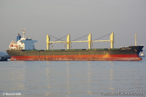
Prinsesa Maganda
Current StatusWhere is the vessel?
Prinsesa Maganda is currently in 13 nm NW of Tungprong Pt, based on AIS data received about 1h ago.
Latest AIS update:
Current position: 12.79199° N, 100.62825° E (13 nm NW of Tungprong Pt)
Average speed (last 7 days): Loading…
Average speed (last 30 days): Loading…
Vessel profile: Prinsesa Maganda is a Bulk Carrier with dimensions 27m x 169m.
This page combines live AIS, route history, probable destination signals, nearby traffic, and port activity for practical vessel monitoring.
The current position of vessel Prinsesa Maganda is 12.79199 lat / 100.62825 lng. Updated: 2026-04-01 23:54:26 UTCNearest reference points:
- Near SATTAHIP
- Near Tips Container Terminal
- Near NH Prosperity
Details:
Live Vessel Prinsesa Maganda Analytics (details, animations, etc.)
Recent AIS points (UTC):
2026-04-01 17:45:04 UTC · 11.91676, 101.07154 · SOG 10.3 kn · COG 320°2026-04-01 19:24:45 UTC · 12.16341, 100.91806 · SOG 10.5 kn · COG 327°
2026-04-01 22:14:45 UTC · 12.58864, 100.69700 · SOG 8 kn · COG 340°
2026-04-01 23:54:26 UTC · 12.79199, 100.62825 · SOG 7.3 kn · COG 345°