 vesseltracker.com
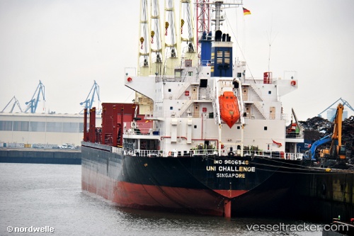
 BAO LONG
Current Status
Where is the vessel?
BAO LONG is currently in 27 nm N of Nieuw Amsterdam, based on AIS data received less than 1h ago.
Latest AIS update:
Current position: 6.32667° N, 55.01667° W (27 nm N of Nieuw Amsterdam)
Average speed (last 7 days): Loading…
Average speed (last 30 days): Loading…
Vessel profile: BAO LONG is a Bulk Carrier with dimensions m x m.
This page combines live AIS, route history, probable destination signals, nearby traffic, and port activity for practical vessel monitoring.
The current position of vessel BAO LONG is 6.32667 lat / -55.01667 lng. Updated: 2026-04-01 10:22:04 UTCNearest reference points:
- Near Paramaribo Zorg en Hoop Airport
- 38 nm NW of Jarikaba
Currently sailing under the flag of Panama ![]()
Details:
Live Vessel BAO LONG Analytics (details, animations, etc.)
Recent AIS points (UTC):
2026-04-01 04:19:02 UTC · 5.86667, -55.09333 · SOG 0 kn · COG -1°2026-04-01 05:57:48 UTC · 5.88141, -55.09674 · SOG 5 kn · COG 335°
2026-04-01 07:22:17 UTC · 5.95346, -55.19495 · SOG 7.6 kn · COG 306°
2026-04-01 10:22:04 UTC · 6.32667, -55.01667 · SOG 10 kn · COG -1°