 vesseltracker.com
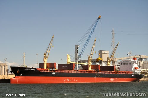
 NANAMI HOPE
Current Status
Where is the vessel?
NANAMI HOPE is currently in Near Varberg, based on AIS data received about 1h ago.
Latest AIS update:
Current position: 57.10820° N, 11.94953° E (Near Varberg)
Average speed (last 7 days): Loading…
Average speed (last 30 days): Loading…
Vessel profile: NANAMI HOPE is a Bulk Carrier with dimensions m x m.
This page combines live AIS, route history, probable destination signals, nearby traffic, and port activity for practical vessel monitoring.
The current position of vessel NANAMI HOPE is 57.10820 lat / 11.94953 lng. Updated: 2026-03-29 21:37:38 UTCNearest reference points:
- Near Varberg
- Near Frillesås
- Near WEST FROLUNDA
Currently sailing under the flag of Liberia ![]()
Details:
Live Vessel NANAMI HOPE Analytics (details, animations, etc.)
Recent AIS points (UTC):
2026-03-29 16:18:37 UTC · 57.49932, 11.37743 · SOG 5.7 kn · COG 125°2026-03-29 18:23:26 UTC · 57.37718, 11.64412 · SOG 5.5 kn · COG 135°
2026-03-29 20:11:46 UTC · 57.28294, 11.82635 · SOG 3.1 kn · COG 162°
2026-03-29 21:37:38 UTC · 57.10820, 11.94953 · SOG 9 kn · COG 170°