 vesseltracker.com
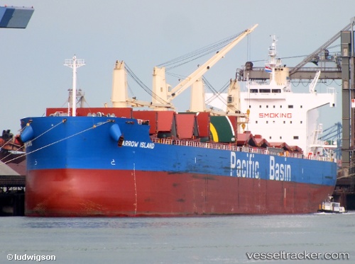
 BARROW ISLAND
Current Status
Where is the vessel?
BARROW ISLAND is currently in 50 nm S of San-Pédro, based on AIS data received about 2h ago.
Latest AIS update:
Current position: 3.89990° N, 6.64999° W (50 nm S of San-Pédro)
Average speed (last 7 days): Loading…
Average speed (last 30 days): Loading…
Vessel profile: BARROW ISLAND is a Bulk Carrier with dimensions m x m.
This page combines live AIS, route history, probable destination signals, nearby traffic, and port activity for practical vessel monitoring.
The current position of vessel BARROW ISLAND is 3.89990 lat / -6.64999 lng. Updated: 2026-03-31 15:20:42 UTCNearest reference points:
- 98 nm SW of Harper
- Near Espoir
- 160 nm S of Harper
Currently sailing under the flag of Singapore ![]()
Details:
Live Vessel BARROW ISLAND Analytics (details, animations, etc.)
Recent AIS points (UTC):
2026-03-31 09:43:41 UTC · 3.85833, -7.90500 · SOG 13 kn · COG -1°2026-03-31 11:23:13 UTC · 3.83296, -7.53886 · SOG 13.3 kn · COG 86°
2026-03-31 14:16:41 UTC · 3.85833, -6.88667 · SOG 13 kn · COG -1°
2026-03-31 15:20:42 UTC · 3.89990, -6.64999 · SOG 13.4 kn · COG 70°