 vesseltracker.com
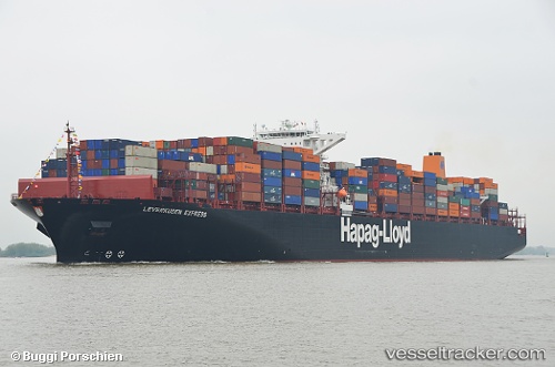
 LEVERKUSEN EXPRESS
Current Status
Where is the vessel?
LEVERKUSEN EXPRESS is currently in 47 nm E of Fenwick Island, based on AIS data received about 1h ago.
Latest AIS update:
Current position: 38.25908° N, 74.07763° W (47 nm E of Fenwick Island)
Average speed (last 7 days): Loading…
Average speed (last 30 days): Loading…
Vessel profile: LEVERKUSEN EXPRESS is a Container Ship with dimensions m x m.
This page combines live AIS, route history, probable destination signals, nearby traffic, and port activity for practical vessel monitoring.
The current position of vessel LEVERKUSEN EXPRESS is 38.25908 lat / -74.07763 lng. Updated: 2026-04-09 05:23:08 UTCNearest reference points:
- 57 nm E of Fenwick Island
- 24 nm E of West Ocean City
- Near Corbin City
Currently sailing under the flag of Liberia ![]()
Details:
Live Vessel LEVERKUSEN EXPRESS Analytics (details, animations, etc.)
Recent AIS points (UTC):
2026-04-08 23:51:58 UTC · 39.40730, -73.88245 · SOG 12.6 kn · COG 178°2026-04-09 01:37:15 UTC · 39.03741, -73.88761 · SOG 12.4 kn · COG 178°
2026-04-09 03:48:27 UTC · 38.58710, -73.98609 · SOG 12.7 kn · COG 190°
2026-04-09 05:23:08 UTC · 38.25908, -74.07763 · SOG 12.9 kn · COG 190°