 vesseltracker.com
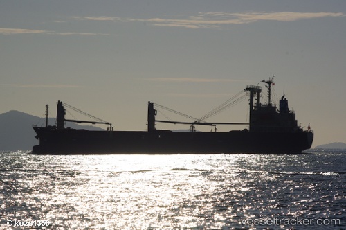
 Hayabusa
Current Status
Where is the vessel?
Hayabusa is currently in 15 nm NE of OHARA, based on AIS data received about 3h ago.
Latest AIS update:
Current position: 35.40136° N, 140.66245° E (15 nm NE of OHARA)
Average speed (last 7 days): Loading…
Average speed (last 30 days): Loading…
Vessel profile: Hayabusa is a General Cargo Ship with dimensions 121m x 19m.
This page combines live AIS, route history, probable destination signals, nearby traffic, and port activity for practical vessel monitoring.
The current position of vessel Hayabusa is 35.40136 lat / 140.66245 lng. Updated: 2026-03-26 17:42:00 UTCNearest reference points:
- Near OHARA
- Near KASHIMA
- 12 nm E of CHOSHI
Currently sailing under the flag of Panama ![]()
Details:
Live Vessel Hayabusa Analytics (details, animations, etc.)
Recent AIS points (UTC):
2026-03-26 11:33:00 UTC · 35.40335, 140.66103 · SOG 0.3 kn · COG 76°2026-03-26 13:27:00 UTC · 35.40346, 140.66103 · SOG 0.4 kn · COG 93°
2026-03-26 16:06:00 UTC · 35.40174, 140.66190 · SOG 0.2 kn · COG 50°
2026-03-26 17:42:00 UTC · 35.40136, 140.66245 · SOG 0.3 kn · COG 17°