 vesseltracker.com
 Balsa 89
Current Status
Where is the vessel?
Balsa 89 is currently in Near Hampton Roads, based on AIS data received about 1h ago.
Latest AIS update:
Current position: 36.96330° N, 76.37477° W (Near Hampton Roads)
Average speed (last 7 days): Loading…
Average speed (last 30 days): Loading…
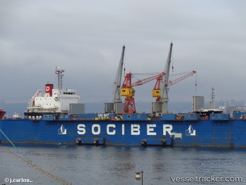
Vessel profile: Balsa 89 is a General Cargo Ship with dimensions 106m x 19m.
This page combines live AIS, route history, probable destination signals, nearby traffic, and port activity for practical vessel monitoring.
The current position of vessel Balsa 89 is 36.96330 lat / -76.37477 lng. Updated: 2026-04-02 19:55:58 UTCNearest reference points:
- Near Newport News
- Near Sewell's Point
- Near Hampton Roads Pt
Currently sailing under the flag of Panama ![]()
Balsa 89 built in 2013 year
Deadweight:
7760 tDetails:
Live Vessel Balsa 89 Analytics (details, animations, etc.)
Recent AIS points (UTC):
2026-04-02 14:07:59 UTC · 36.96338, -76.37644 · SOG 0.1 kn · COG 134°2026-04-02 15:55:59 UTC · 36.96391, -76.37475 · SOG 0.1 kn · COG 228°
2026-04-02 17:58:58 UTC · 36.96370, -76.37459 · SOG 0.1 kn · COG 239°
2026-04-02 19:55:58 UTC · 36.96330, -76.37477 · SOG 0.1 kn · COG 236°