 vesseltracker.com
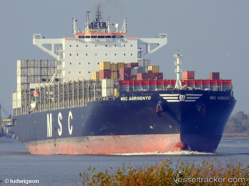
 RUBY TOWER
Current Status
Where is the vessel?
RUBY TOWER is currently in 13 nm NE of Jingjiang, based on AIS data received about 1h ago.
Latest AIS update:
Current position: 31.16400° N, 122.64802° E (13 nm NE of Jingjiang)
Average speed (last 7 days): Loading…
Average speed (last 30 days): Loading…
Vessel profile: RUBY TOWER is a Container Ship with dimensions m x m.
This page combines live AIS, route history, probable destination signals, nearby traffic, and port activity for practical vessel monitoring.
The current position of vessel RUBY TOWER is 31.16400 lat / 122.64802 lng. Updated: 2026-03-27 05:47:37 UTCNearest reference points:
- 15 nm NE of Jingjiang
- 14 nm N of Lü-hua Shan
- 17 nm NE of Jingjiang
Currently sailing under the flag of Liberia ![]()
Details:
Live Vessel RUBY TOWER Analytics (details, animations, etc.)
Recent AIS points (UTC):
2026-03-27 00:17:37 UTC · 31.16330, 122.64851 · SOG 0 kn · COG 245°2026-03-27 02:35:37 UTC · 31.16267, 122.64834 · SOG 0.1 kn · COG 251°
2026-03-27 03:56:35 UTC · 31.16270, 122.64851 · SOG 0 kn · COG 272°
2026-03-27 05:47:37 UTC · 31.16400, 122.64802 · SOG 0.1 kn · COG 239°