 vesseltracker.com
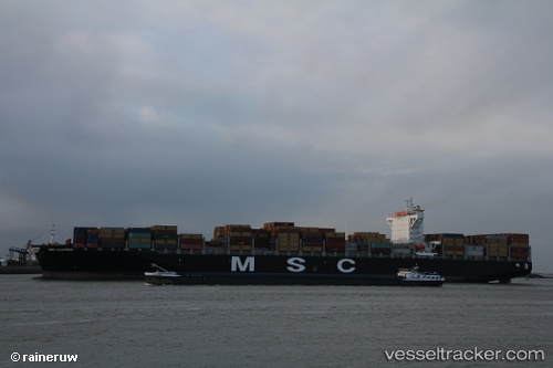
 EMERALD TOWER
Current Status
Where is the vessel?
EMERALD TOWER is currently in 218 nm NE of Tan Cang Qui Nhon, based on AIS data received about 1h ago.
Latest AIS update:
Current position: 15.69333° N, 113.01167° E (218 nm NE of Tan Cang Qui Nhon)
Average speed (last 7 days): Loading…
Average speed (last 30 days): Loading…
Vessel profile: EMERALD TOWER is a Container Ship with dimensions m x m.
This page combines live AIS, route history, probable destination signals, nearby traffic, and port activity for practical vessel monitoring.
The current position of vessel EMERALD TOWER is 15.69333 lat / 113.01167 lng. Updated: 2026-04-20 22:06:14 UTCNearest reference points:
- 215 nm NE of Tan Cang Qui Nhon
- 157 nm SE of Xincun
- 222 nm E of Tan Cang Qui Nhon
Currently sailing under the flag of Liberia ![]()
Details:
Live Vessel EMERALD TOWER Analytics (details, animations, etc.)
Recent AIS points (UTC):
2026-04-20 19:11:25 UTC · 16.27360, 113.13532 · SOG 11.1 kn · COG 181°2026-04-20 19:59:44 UTC · 16.11060, 113.12953 · SOG 12.2 kn · COG 194°
2026-04-20 21:57:14 UTC · 15.72333, 113.02167 · SOG 12 kn · COG -1°
2026-04-20 22:06:14 UTC · 15.69333, 113.01167 · SOG 12 kn · COG -1°