 vesseltracker.com
 PRINCESS SHAIMAA
Current Status
Where is the vessel?
PRINCESS SHAIMAA is currently in Near Carmen de la Legua, based on AIS data received about 2d ago.
Latest AIS update:
Current position: 12.03198° S, 77.05011° W (Near Carmen de la Legua)
Average speed (last 7 days): Loading…
Average speed (last 30 days): Loading…
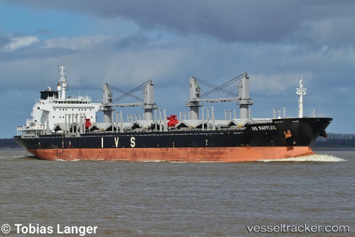
Vessel profile: PRINCESS SHAIMAA is a Bulk Carrier with dimensions m x m.
This page combines live AIS, route history, probable destination signals, nearby traffic, and port activity for practical vessel monitoring.
The current position of vessel PRINCESS SHAIMAA is -12.03198 lat / -77.05011 lng. Updated: 2026-04-04 21:35:34 UTCNearest reference points:
- Near Callao
- 43 nm SW of Barranca
- 125 nm SW of Supe Bay
Currently sailing under the flag of Malta ![]()
Details:
Live Vessel PRINCESS SHAIMAA Analytics (details, animations, etc.)
Recent AIS points (UTC):
2026-03-25 15:30:29 UTC · 45.00479, 30.13366 · SOG 11.6 kn · COG 301°2026-04-04 21:35:34 UTC · -12.03198, -77.05011 · SOG 0 kn · COG 199°
2026-04-04 21:35:34 UTC · -12.03198, -77.05011 · SOG 0 kn · COG 199°
2026-04-04 21:35:34 UTC · -12.03198, -77.05011 · SOG 0 kn · COG 199°