 vesseltracker.com
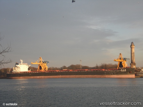
 Tao Hua Hai
Current Status
Where is the vessel?
Tao Hua Hai is currently in Near Port Headland, based on AIS data received about 2h ago.
Latest AIS update:
Current position: 20.31604° S, 118.56920° E (Near Port Headland)
Average speed (last 7 days): Loading…
Average speed (last 30 days): Loading…
Vessel profile: Tao Hua Hai is a Bulk Carrier with dimensions 254m x 43m.
This page combines live AIS, route history, probable destination signals, nearby traffic, and port activity for practical vessel monitoring.
The current position of vessel Tao Hua Hai is -20.31604 lat / 118.56920 lng. Updated: 2026-04-02 17:20:59 UTCNearest reference points:
- 11 nm E of Port Walcot
- 116 nm NE of Mutineer
Currently sailing under the flag of China ![]()
Tao Hua Hai built in 2012 year
Deadweight:
115184 tDetails:
Live Vessel Tao Hua Hai Analytics (details, animations, etc.)
Recent AIS points (UTC):
2026-04-02 11:41:54 UTC · -20.31606, 118.56920 · SOG 0 kn · COG 354°2026-04-02 13:36:36 UTC · -20.31602, 118.56917 · SOG 0 kn · COG -1°
2026-04-02 15:33:18 UTC · -20.31500, 118.56833 · SOG 0 kn · COG -1°
2026-04-02 17:20:59 UTC · -20.31604, 118.56920 · SOG 0 kn · COG 354°