 vesseltracker.com
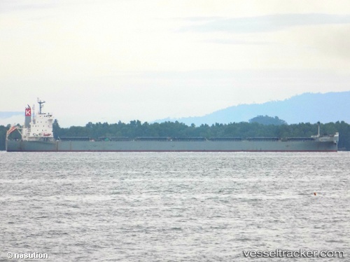
 VITTORIA
Current Status
Where is the vessel?
VITTORIA is currently in 29 nm SE of Rio Tuba, based on AIS data received about 1h ago.
Latest AIS update:
Current position: 8.09500° N, 117.67833° E (29 nm SE of Rio Tuba)
Average speed (last 7 days): Loading…
Average speed (last 30 days): Loading…
Vessel profile: VITTORIA is a Bulk Carrier with dimensions m x m.
This page combines live AIS, route history, probable destination signals, nearby traffic, and port activity for practical vessel monitoring.
The current position of vessel VITTORIA is 8.09500 lat / 117.67833 lng. Updated: 2026-04-02 09:36:30 UTCNearest reference points:
- 35 nm SE of Brookes Point, Palawan
- 70 nm W of Puerto Princesa
- Near Kota Kinabalu
Currently sailing under the flag of Malaysia ![]()
Details:
Live Vessel VITTORIA Analytics (details, animations, etc.)
Recent AIS points (UTC):
2026-04-02 03:30:28 UTC · 8.26500, 118.85500 · SOG 11 kn · COG -1°2026-04-02 05:57:27 UTC · 8.26333, 118.37333 · SOG 11 kn · COG -1°
2026-04-02 07:25:45 UTC · 8.23257, 118.08530 · SOG 11.8 kn · COG 262°
2026-04-02 09:36:30 UTC · 8.09500, 117.67833 · SOG 11 kn · COG -1°