 vesseltracker.com
Darleakay
Current StatusWhere is the vessel?
Darleakay is currently in 207 nm SE of Manakara, based on AIS data received less than 1h ago.
Latest AIS update:
Current position: 24.03951° S, 51.15577° E (207 nm SE of Manakara)
Average speed (last 7 days): Loading…
Average speed (last 30 days): Loading…
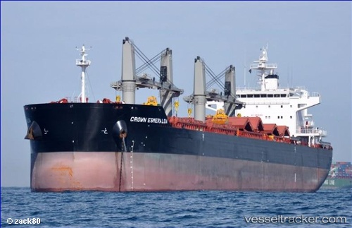
Vessel profile: Darleakay is a Bulk Carrier with dimensions 32m x 190m.
This page combines live AIS, route history, probable destination signals, nearby traffic, and port activity for practical vessel monitoring.
The current position of vessel Darleakay is -24.03951 lat / 51.15577 lng. Updated: 2026-03-31 06:10:48 UTCNearest reference points:
- 209 nm E of Manakara
- 194 nm E of Manakara
- 271 nm E of Fort Dauphin
Details:
Live Vessel Darleakay Analytics (details, animations, etc.)
Recent AIS points (UTC):
2026-03-31 00:06:07 UTC · -23.52790, 52.17924 · SOG 10.5 kn · COG 237°2026-03-31 01:41:08 UTC · -23.66704, 51.91742 · SOG 10.4 kn · COG 237°
2026-03-31 03:57:25 UTC · -23.85118, 51.52459 · SOG 10.6 kn · COG 243°
2026-03-31 06:10:48 UTC · -24.03951, 51.15577 · SOG 10.3 kn · COG 243°