 vesseltracker.com
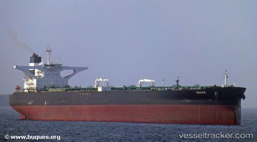
 ANGOLA B
Current Status
Where is the vessel?
ANGOLA B is currently in 20 nm E of SHINAS, based on AIS data received less than 1h ago.
Latest AIS update:
Current position: 24.87149° N, 56.81597° E (20 nm E of SHINAS)
Average speed (last 7 days): Loading…
Average speed (last 30 days): Loading…
Vessel profile: ANGOLA B is a Crude Oil Tanker with dimensions m x m.
This page combines live AIS, route history, probable destination signals, nearby traffic, and port activity for practical vessel monitoring.
The current position of vessel ANGOLA B is 24.87149 lat / 56.81597 lng. Updated: 2026-04-19 01:57:50 UTCNearest reference points:
- 18 nm SE of SHINAS
- 17 nm SE of Shinas
- Near Offshore Fujairah
Currently sailing under the flag of Liberia ![]()
Details:
Live Vessel ANGOLA B Analytics (details, animations, etc.)
Recent AIS points (UTC):
2026-04-18 20:16:20 UTC · 24.30002, 57.48769 · SOG 9.3 kn · COG 314°2026-04-18 22:22:10 UTC · 24.52029, 57.23871 · SOG 8.7 kn · COG 312°
2026-04-19 00:23:20 UTC · 24.72677, 57.00455 · SOG 8.8 kn · COG 311°
2026-04-19 01:57:50 UTC · 24.87149, 56.81597 · SOG 8.8 kn · COG 314°