 vesseltracker.com
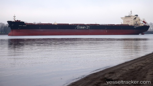
 Boga Indah
Current Status
Where is the vessel?
Boga Indah is currently in 57 nm NE of Hai Son, based on AIS data received about 1h ago.
Latest AIS update:
Current position: 16.77535° N, 108.91992° E (57 nm NE of Hai Son)
Average speed (last 7 days): Loading…
Average speed (last 30 days): Loading…
Vessel profile: Boga Indah is a Bulk Carrier with dimensions 229m x 36m.
This page combines live AIS, route history, probable destination signals, nearby traffic, and port activity for practical vessel monitoring.
The current position of vessel Boga Indah is 16.77535 lat / 108.91992 lng. Updated: 2026-04-19 02:11:58 UTCNearest reference points:
- 23 nm E of Hai Son
- Near Hai Son
- 24 nm SW of San-Ya Chiang
Currently sailing under the flag of Singapore ![]()
Details:
Live Vessel Boga Indah Analytics (details, animations, etc.)
Recent AIS points (UTC):
2026-04-18 20:01:49 UTC · 17.68833, 108.07833 · SOG 12 kn · COG -1°2026-04-18 22:07:27 UTC · 17.37395, 108.37569 · SOG 12 kn · COG 136°
2026-04-18 23:57:17 UTC · 17.10550, 108.63712 · SOG 11.7 kn · COG 137°
2026-04-19 02:11:58 UTC · 16.77535, 108.91992 · SOG 11.4 kn · COG 137°