 vesseltracker.com
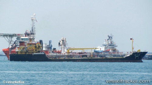
 MARINE BELLA
Current Status
Where is the vessel?
MARINE BELLA is currently in Near Maldive Gas, based on AIS data received about 2h ago.
Latest AIS update:
Current position: 4.21158° N, 73.47214° E (Near Maldive Gas)
Average speed (last 7 days): Loading…
Average speed (last 30 days): Loading…
Vessel profile: MARINE BELLA is a Oil Products Tanker with dimensions m x m.
This page combines live AIS, route history, probable destination signals, nearby traffic, and port activity for practical vessel monitoring.
The current position of vessel MARINE BELLA is 4.21158 lat / 73.47214 lng. Updated: 2026-03-29 17:47:50 UTCNearest reference points:
- Near Maamigili Port
Currently sailing under the flag of Maldives ![]()
Details:
Live Vessel MARINE BELLA Analytics (details, animations, etc.)
Recent AIS points (UTC):
2026-03-29 12:13:16 UTC · 4.19201, 73.47910 · SOG 0 kn · COG -1°2026-03-29 13:31:24 UTC · 4.19208, 73.47917 · SOG 0 kn · COG -1°
2026-03-29 15:46:18 UTC · 4.19213, 73.47914 · SOG 0 kn · COG -1°
2026-03-29 17:47:50 UTC · 4.21158, 73.47214 · SOG 0 kn · COG -1°