 vesseltracker.com
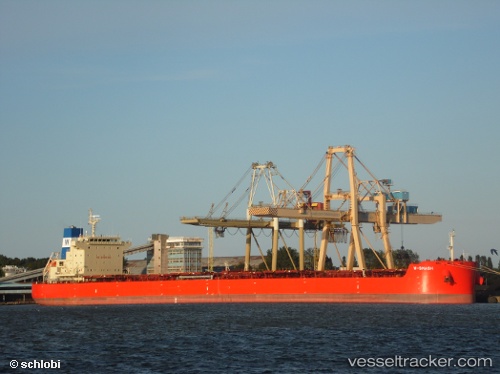
W Smash
Current StatusWhere is the vessel?
W Smash is currently in 86 nm W of Attu Island, based on AIS data received less than 1h ago.
Latest AIS update:
Current position: 53.37500° N, 171.00333° E (86 nm W of Attu Island)
Average speed (last 7 days): Loading…
Average speed (last 30 days): Loading…
Vessel profile: W Smash is a Bulk Carrier with dimensions 32m x 229m.
This page combines live AIS, route history, probable destination signals, nearby traffic, and port activity for practical vessel monitoring.
The current position of vessel W Smash is 53.37500 lat / 171.00333 lng. Updated: 2026-03-30 01:19:07 UTCDetails:
Live Vessel W Smash Analytics (details, animations, etc.)
Recent AIS points (UTC):
2026-03-29 19:22:07 UTC · 52.66167, 169.55667 · SOG 11 kn · COG -1°2026-03-29 21:53:14 UTC · 52.98335, 170.16359 · SOG 11.8 kn · COG 51°
2026-03-30 00:12:22 UTC · 53.27482, 170.71979 · SOG 11 kn · COG 26°
2026-03-30 01:19:07 UTC · 53.37500, 171.00333 · SOG 11 kn · COG -1°