 vesseltracker.com
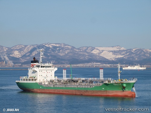
 ROSA XVIII
Current Status
Where is the vessel?
ROSA XVIII is currently in Near BAUBAU, based on AIS data received about 1d ago.
Latest AIS update:
Current position: 5.51784° S, 122.55535° E (Near BAUBAU)
Average speed (last 7 days): Loading…
Average speed (last 30 days): Loading…
Vessel profile: ROSA XVIII is a Tanker with dimensions m x m.
This page combines live AIS, route history, probable destination signals, nearby traffic, and port activity for practical vessel monitoring.
The current position of vessel ROSA XVIII is -5.51784 lat / 122.55535 lng. Updated: 2026-04-10 08:27:09 UTCNearest reference points:
- Near BAUBAU
- Near Labuan
- 27 nm SW of Kolaka
Currently sailing under the flag of Indonesia ![]()
Details:
Live Vessel ROSA XVIII Analytics (details, animations, etc.)
Recent AIS points (UTC):
2026-04-10 01:51:06 UTC · -5.51783, 122.55533 · SOG 0 kn · COG 0°2026-04-10 03:54:14 UTC · -5.51779, 122.55537 · SOG 0 kn · COG 0°
2026-04-10 05:39:13 UTC · -5.51783, 122.55534 · SOG 0 kn · COG 0°
2026-04-10 08:27:09 UTC · -5.51784, 122.55535 · SOG 0 kn · COG 0°