 vesseltracker.com
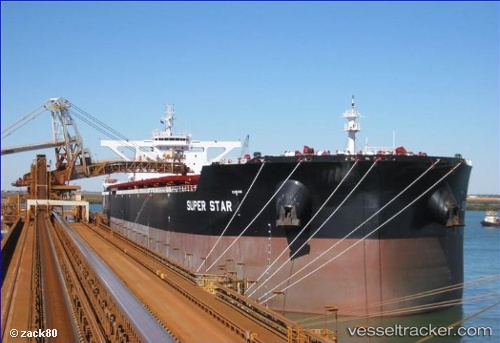
 Marini
Current Status
Where is the vessel?
Marini is currently in 52 nm NE of Tan Cang Qui Nhon, based on AIS data received about 2h ago.
Latest AIS update:
Current position: 14.35133° N, 110.48516° E (52 nm NE of Tan Cang Qui Nhon)
Average speed (last 7 days): Loading…
Average speed (last 30 days): Loading…
Vessel profile: Marini is a Bulk Carrier with dimensions 300m x 50m.
This page combines live AIS, route history, probable destination signals, nearby traffic, and port activity for practical vessel monitoring.
The current position of vessel Marini is 14.35133 lat / 110.48516 lng. Updated: 2026-04-02 12:45:45 UTCNearest reference points:
- 29 nm NE of Vung Ro
- 17 nm NE of Bong Son
- Near Bong Son
Currently sailing under the flag of Malta ![]()
Details:
Live Vessel Marini Analytics (details, animations, etc.)
Recent AIS points (UTC):
2026-04-02 07:42:45 UTC · 15.27864, 109.97213 · SOG 13.2 kn · COG 150°2026-04-02 09:40:55 UTC · 14.91535, 110.19275 · SOG 12.7 kn · COG 145°
2026-04-02 11:35:55 UTC · 14.55714, 110.37132 · SOG 12.1 kn · COG 152°
2026-04-02 12:45:45 UTC · 14.35133, 110.48516 · SOG 12 kn · COG 152°