 vesseltracker.com
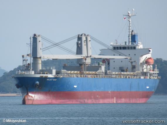
 MILKY WAY
Current Status
Where is the vessel?
MILKY WAY is currently in 116 nm SW of Panjang, based on AIS data received about 1h ago.
Latest AIS update:
Current position: 7.35966° S, 103.57884° E (116 nm SW of Panjang)
Average speed (last 7 days): Loading…
Average speed (last 30 days): Loading…
Vessel profile: MILKY WAY is a General Cargo with dimensions m x m.
This page combines live AIS, route history, probable destination signals, nearby traffic, and port activity for practical vessel monitoring.
The current position of vessel MILKY WAY is -7.35966 lat / 103.57884 lng. Updated: 2026-03-29 21:50:46 UTCNearest reference points:
- 163 nm W of Panjang
- 29 nm SW of Tarahan
- 28 nm SW of Tarahan
Currently sailing under the flag of Singapore ![]()
Details:
Live Vessel MILKY WAY Analytics (details, animations, etc.)
Recent AIS points (UTC):
2026-03-29 15:12:26 UTC · -6.69525, 104.71269 · SOG 11.6 kn · COG 247°2026-03-29 17:06:18 UTC · -6.87304, 104.38834 · SOG 11.8 kn · COG 242°
2026-03-29 19:35:25 UTC · -7.13058, 103.96758 · SOG 12 kn · COG -1°
2026-03-29 21:50:46 UTC · -7.35966, 103.57884 · SOG 11.8 kn · COG -1°