 vesseltracker.com
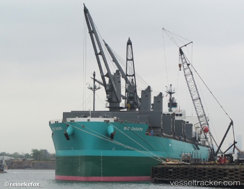
 CHANNEL PEARL
Current Status
Where is the vessel?
CHANNEL PEARL is currently in Near Daniel Island, based on AIS data received about 1h ago.
Latest AIS update:
Current position: 32.90912° N, 79.94319° W (Near Daniel Island)
Average speed (last 7 days): Loading…
Average speed (last 30 days): Loading…
Vessel profile: CHANNEL PEARL is a Cargo with dimensions m x m.
This page combines live AIS, route history, probable destination signals, nearby traffic, and port activity for practical vessel monitoring.
The current position of vessel CHANNEL PEARL is 32.90912 lat / -79.94319 lng. Updated: 2026-04-08 03:39:13 UTCNearest reference points:
- Near Charleston
- 33 nm S of Kiawah Island
- Near Saint Andrews
Currently sailing under the flag of Bahamas ![]()
Details:
Live Vessel CHANNEL PEARL Analytics (details, animations, etc.)
Recent AIS points (UTC):
2026-04-07 21:46:58 UTC · 32.90833, -79.94167 · SOG 0 kn · COG -1°2026-04-08 00:16:58 UTC · 32.90833, -79.94167 · SOG 0 kn · COG -1°
2026-04-08 02:15:13 UTC · 32.90910, -79.94316 · SOG 0 kn · COG 81°
2026-04-08 03:39:13 UTC · 32.90912, -79.94319 · SOG 0 kn · COG 81°