 vesseltracker.com
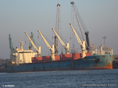
 NORDIC NANJING
Current Status
Where is the vessel?
NORDIC NANJING is currently in Near Pointe a la Hache, based on AIS data received about 2h ago.
Latest AIS update:
Current position: 29.59113° N, 89.83049° W (Near Pointe a la Hache)
Average speed (last 7 days): Loading…
Average speed (last 30 days): Loading…
Vessel profile: NORDIC NANJING is a Bulk Carrier with dimensions m x m.
This page combines live AIS, route history, probable destination signals, nearby traffic, and port activity for practical vessel monitoring.
The current position of vessel NORDIC NANJING is 29.59113 lat / -89.83049 lng. Updated: 2026-03-26 08:17:30 UTCNearest reference points:
- Near Pointe a la Hache
- Near Port Sulphur
- 11 nm NE of Port Sulphur
Currently sailing under the flag of Liberia ![]()
Details:
Live Vessel NORDIC NANJING Analytics (details, animations, etc.)
Recent AIS points (UTC):
2026-03-25 21:56:41 UTC · 30.11321, -91.01066 · SOG 11.1 kn · COG 98°2026-03-26 00:09:33 UTC · 30.03768, -90.68717 · SOG 14 kn · COG 51°
2026-03-26 02:01:07 UTC · 29.93596, -90.35177 · SOG 13.6 kn · COG 102°
2026-03-26 08:17:30 UTC · 29.59113, -89.83049 · SOG 0.1 kn · COG 309°