 vesseltracker.com
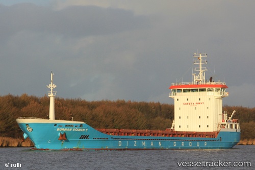
 TEONA
TEONA
Current Status
Where is the vessel?
TEONA is currently in Near Portstewart, based on AIS data received less than 1h ago.
Latest AIS update:
Current position: 55.27046° N, 6.69408° W (Near Portstewart)
Average speed (last 7 days): Loading…
Average speed (last 30 days): Loading…
Vessel profile: TEONA is a General Cargo with dimensions m x m.
This page combines live AIS, route history, probable destination signals, nearby traffic, and port activity for practical vessel monitoring.
The current position of vessel TEONA is 55.27046 lat / -6.69408 lng. Updated: 2026-04-03 13:48:40 UTCNearest reference points:
- Near Belfast
- Near Campbeltown
- Near Southend
Currently sailing under the flag of Barbados ![]()
Details:
Live Vessel TEONA Analytics (details, animations, etc.)
Recent AIS points (UTC):
2026-04-03 07:26:35 UTC · 55.20943, -6.82149 · SOG 0.8 kn · COG 273°2026-04-03 09:59:36 UTC · 55.20933, -6.82117 · SOG 1.8 kn · COG 274°
2026-04-03 11:31:53 UTC · 55.20862, -6.82082 · SOG 0.1 kn · COG 301°
2026-04-03 13:48:40 UTC · 55.27046, -6.69408 · SOG 10.5 kn · COG 84°