 vesseltracker.com
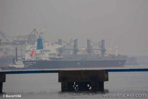
 TELERI M
Current Status
Where is the vessel?
TELERI M is currently in 39 nm NW of Sha-lun, based on AIS data received less than 1h ago.
Latest AIS update:
Current position: 25.66109° N, 120.86210° E (39 nm NW of Sha-lun)
Average speed (last 7 days): Loading…
Average speed (last 30 days): Loading…
Vessel profile: TELERI M is a Bulk Carrier with dimensions 32m x 190m.
This page combines live AIS, route history, probable destination signals, nearby traffic, and port activity for practical vessel monitoring.
The current position of vessel TELERI M is 25.66109 lat / 120.86210 lng. Updated: 2026-04-10 05:42:42 UTCNearest reference points:
- 56 nm E of Beijiao
- 58 nm E of Beijiao
- Near Sha-lun
Currently sailing under the flag of Panama ![]()
TELERI M built in 2013 year
Deadweight:
55851 tDetails:
Live Vessel TELERI M Analytics (details, animations, etc.)
Recent AIS points (UTC):
2026-04-09 23:31:00 UTC · 26.42549, 121.45798 · SOG 8.7 kn · COG 219°2026-04-10 01:46:02 UTC · 26.16159, 121.24822 · SOG 8.7 kn · COG 216°
2026-04-10 03:55:11 UTC · 25.90469, 121.03329 · SOG 9.2 kn · COG 212°
2026-04-10 05:42:42 UTC · 25.66109, 120.86210 · SOG 9.9 kn · COG 211°