 vesseltracker.com
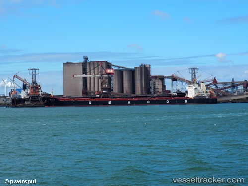
 OCEAN LORRY
Current Status
Where is the vessel?
OCEAN LORRY is currently in Near Port Of South Louisiana, based on AIS data received about 1h ago.
Latest AIS update:
Current position: 30.05296° N, 90.56205° W (Near Port Of South Louisiana)
Average speed (last 7 days): Loading…
Average speed (last 30 days): Loading…
Vessel profile: OCEAN LORRY is a Cargo with dimensions m x m.
This page combines live AIS, route history, probable destination signals, nearby traffic, and port activity for practical vessel monitoring.
The current position of vessel OCEAN LORRY is 30.05296 lat / -90.56205 lng. Updated: 2026-04-04 07:56:08 UTCNearest reference points:
- Near Port Of South Louisiana
- Near Good Hope
- Near Boutte
Currently sailing under the flag of Liberia ![]()
Details:
Live Vessel OCEAN LORRY Analytics (details, animations, etc.)
Recent AIS points (UTC):
2026-04-04 02:02:15 UTC · 30.05297, -90.56204 · SOG 0 kn · COG 280°2026-04-04 03:29:04 UTC · 30.05302, -90.56206 · SOG 0 kn · COG 280°
2026-04-04 06:08:04 UTC · 30.05296, -90.56204 · SOG 0 kn · COG 280°
2026-04-04 07:56:08 UTC · 30.05296, -90.56205 · SOG 0 kn · COG 280°