 vesseltracker.com
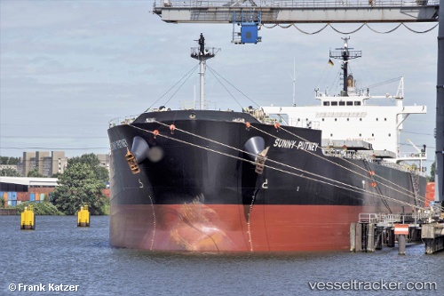
 MAGIC PLUTO
Current Status
Where is the vessel?
MAGIC PLUTO is currently in 100 nm E of Okao, based on AIS data received less than 1h ago.
Latest AIS update:
Current position: 4.36167° S, 117.80333° E (100 nm E of Okao)
Average speed (last 7 days): Loading…
Average speed (last 30 days): Loading…
Vessel profile: MAGIC PLUTO is a Bulk Carrier with dimensions 32m x 225m.
This page combines live AIS, route history, probable destination signals, nearby traffic, and port activity for practical vessel monitoring.
The current position of vessel MAGIC PLUTO is -4.36167 lat / 117.80333 lng. Updated: 2026-04-03 02:05:59 UTCNearest reference points:
- 117 nm W of Panakukang
- 12 nm W of Panakukang
- Near Panakukang
Currently sailing under the flag of Marshall Islands ![]()
MAGIC PLUTO built in 2013 year
Deadweight:
74940 tDetails:
Live Vessel MAGIC PLUTO Analytics (details, animations, etc.)
Recent AIS points (UTC):
2026-04-02 19:36:03 UTC · -3.08500, 118.53167 · SOG 13 kn · COG -1°2026-04-02 21:54:04 UTC · -3.54667, 118.31833 · SOG 13 kn · COG -1°
2026-04-02 23:53:58 UTC · -3.92041, 118.06639 · SOG 13.8 kn · COG -1°
2026-04-03 02:05:59 UTC · -4.36167, 117.80333 · SOG 13 kn · COG -1°