 vesseltracker.com
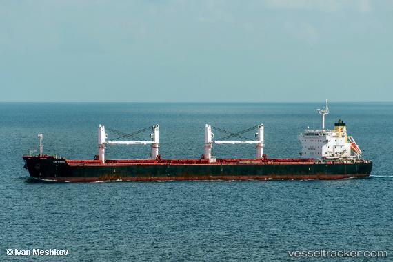
 EVEREST
Current Status
Where is the vessel?
EVEREST is currently in Near Sambu, based on AIS data received about 1h ago.
Latest AIS update:
Current position: 1.22481° N, 103.90918° E (Near Sambu)
Average speed (last 7 days): Loading…
Average speed (last 30 days): Loading…
Vessel profile: EVEREST is a Bulk Carrier with dimensions m x m.
This page combines live AIS, route history, probable destination signals, nearby traffic, and port activity for practical vessel monitoring.
The current position of vessel EVEREST is 1.22481 lat / 103.90918 lng. Updated: 2026-04-03 11:48:55 UTCNearest reference points:
- Near Choa Chu Kang
- Near Sambu
- Near Tampines
Currently sailing under the flag of Barbados ![]()
Details:
Live Vessel EVEREST Analytics (details, animations, etc.)
Recent AIS points (UTC):
2026-04-03 05:28:10 UTC · 1.32295, 104.24816 · SOG 0 kn · COG 23°2026-04-03 07:52:10 UTC · 1.32524, 104.25042 · SOG 0 kn · COG 278°
2026-04-03 09:42:15 UTC · 1.31347, 104.24439 · SOG 6.4 kn · COG 226°
2026-04-03 11:48:55 UTC · 1.22481, 103.90918 · SOG 10.7 kn · COG 245°