 vesseltracker.com
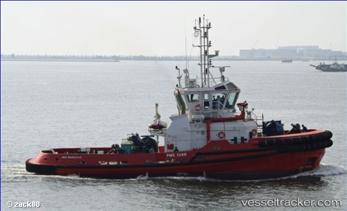
 LEO
LEO
Current Status
Where is the vessel?
LEO is currently in 78 nm NW of Farta Bay, based on AIS data received less than 1h ago.
Latest AIS update:
Current position: 11.53676° S, 12.45265° E (78 nm NW of Farta Bay)
Average speed (last 7 days): Loading…
Average speed (last 30 days): Loading…
Vessel profile: LEO is a Tug with dimensions m x m.
This page combines live AIS, route history, probable destination signals, nearby traffic, and port activity for practical vessel monitoring.
The current position of vessel LEO is -11.53676 lat / 12.45265 lng. Updated: 2026-04-18 09:47:10 UTCCurrently sailing under the flag of Marshall Islands ![]()
Details:
Live Vessel LEO Analytics (details, animations, etc.)
Recent AIS points (UTC):
2026-04-18 04:20:01 UTC · -11.09952, 12.53546 · SOG 3.8 kn · COG 186°2026-04-18 06:15:33 UTC · -11.24910, 12.50638 · SOG 3.7 kn · COG 182°
2026-04-18 07:55:01 UTC · -11.38282, 12.48430 · SOG 6.7 kn · COG 187°
2026-04-18 09:47:10 UTC · -11.53676, 12.45265 · SOG 4.5 kn · COG 190°