 vesseltracker.com
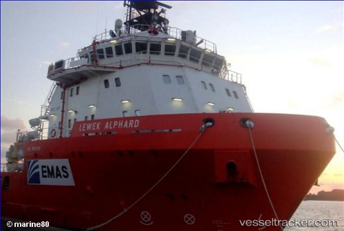
 PAN TAMARA
Current Status
Where is the vessel?
PAN TAMARA is currently in Near Floriana, based on AIS data received about 1h ago.
Latest AIS update:
Current position: 35.88012° N, 14.49733° E (Near Floriana)
Average speed (last 7 days): Loading…
Average speed (last 30 days): Loading…
Vessel profile: PAN TAMARA is a Other Type with dimensions m x m.
This page combines live AIS, route history, probable destination signals, nearby traffic, and port activity for practical vessel monitoring.
The current position of vessel PAN TAMARA is 35.88012 lat / 14.49733 lng. Updated: 2026-03-26 17:28:02 UTCNearest reference points:
- Near Floriana
- Near Sliema
- Near Valletta
Currently sailing under the flag of Panama ![]()
Details:
Live Vessel PAN TAMARA Analytics (details, animations, etc.)
Recent AIS points (UTC):
2026-03-26 12:22:02 UTC · 35.88013, 14.49733 · SOG 0 kn · COG 230°2026-03-26 13:49:05 UTC · 35.88014, 14.49734 · SOG 0 kn · COG 229°
2026-03-26 15:46:02 UTC · 35.88013, 14.49733 · SOG 0 kn · COG 229°
2026-03-26 17:28:02 UTC · 35.88012, 14.49733 · SOG 0 kn · COG 230°