 vesseltracker.com
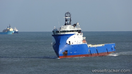
 SERVICE TIDE
Current Status
Where is the vessel?
SERVICE TIDE is currently in Near Aberdeen, based on AIS data received about 4d ago.
Latest AIS update:
Current position: 57.14429° N, 2.07495° W (Near Aberdeen)
Average speed (last 7 days): Loading…
Average speed (last 30 days): Loading…
Vessel profile: SERVICE TIDE is a Offshore Supply Ship with dimensions m x m.
This page combines live AIS, route history, probable destination signals, nearby traffic, and port activity for practical vessel monitoring.
The current position of vessel SERVICE TIDE is 57.14429 lat / -2.07495 lng. Updated: 2026-04-02 13:11:52 UTCNearest reference points:
- Near Aberdeen
- Near PETERHEAD
- Near Peterhead
Currently sailing under the flag of United Kingdom ![]()
Details:
Live Vessel SERVICE TIDE Analytics (details, animations, etc.)
Recent AIS points (UTC):
2026-04-02 11:26:21 UTC · 57.14449, -2.07731 · SOG 0 kn · COG 115°2026-04-02 13:11:52 UTC · 57.14429, -2.07495 · SOG 0 kn · COG -1°
2026-04-02 13:11:52 UTC · 57.14429, -2.07495 · SOG 0 kn · COG -1°
2026-04-02 13:11:52 UTC · 57.14429, -2.07495 · SOG 0 kn · COG -1°