 vesseltracker.com
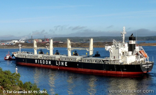
 AMERICA PEARL
Current Status
Where is the vessel?
AMERICA PEARL is currently in Near Bayside, Charlotte, based on AIS data received about 2h ago.
Latest AIS update:
Current position: 45.15881° N, 67.14130° W (Near Bayside, Charlotte)
Average speed (last 7 days): Loading…
Average speed (last 30 days): Loading…
Vessel profile: AMERICA PEARL is a Cargo with dimensions m x m.
This page combines live AIS, route history, probable destination signals, nearby traffic, and port activity for practical vessel monitoring.
The current position of vessel AMERICA PEARL is 45.15881 lat / -67.14130 lng. Updated: 2026-04-02 14:45:21 UTCNearest reference points:
- 16 nm W of Tiverton
- Near St. John
- Near Tiverton
Currently sailing under the flag of Bahamas ![]()
Details:
Live Vessel AMERICA PEARL Analytics (details, animations, etc.)
Recent AIS points (UTC):
2026-04-02 10:24:20 UTC · 45.15956, -67.14127 · SOG 0 kn · COG 1°2026-04-02 10:24:20 UTC · 45.15956, -67.14127 · SOG 0 kn · COG 1°
2026-04-02 14:03:16 UTC · 45.15881, -67.14128 · SOG 0 kn · COG 1°
2026-04-02 14:45:21 UTC · 45.15881, -67.14130 · SOG 0 kn · COG 1°