 vesseltracker.com
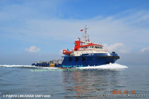
 MARSOL SUPREME
Current Status
Where is the vessel?
MARSOL SUPREME is currently in 15 nm NE of Az Zarqa Island, based on AIS data received about 1h ago.
Latest AIS update:
Current position: 25.21502° N, 53.19910° E (15 nm NE of Az Zarqa Island)
Average speed (last 7 days): Loading…
Average speed (last 30 days): Loading…
Vessel profile: MARSOL SUPREME is a Anchor Handling Vessel with dimensions m x m.
This page combines live AIS, route history, probable destination signals, nearby traffic, and port activity for practical vessel monitoring.
The current position of vessel MARSOL SUPREME is 25.21502 lat / 53.19910 lng. Updated: 2026-04-09 11:29:51 UTCNearest reference points:
- Near Das Island
- 21 nm NE of Halul Island
- Near Yas Island
Currently sailing under the flag of Marshall Islands ![]()
Details:
Live Vessel MARSOL SUPREME Analytics (details, animations, etc.)
Recent AIS points (UTC):
2026-04-09 05:28:18 UTC · 25.21575, 53.16653 · SOG 1 kn · COG -1°2026-04-09 06:23:34 UTC · 25.21242, 53.15577 · SOG 0.7 kn · COG -1°
2026-04-09 06:23:34 UTC · 25.21242, 53.15577 · SOG 0.7 kn · COG -1°
2026-04-09 11:29:51 UTC · 25.21502, 53.19910 · SOG 4.4 kn · COG -1°