 vesseltracker.com
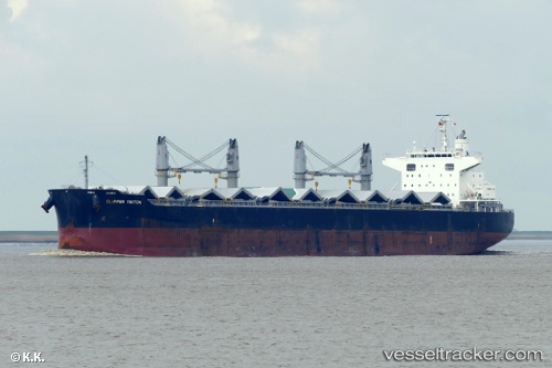
 DARYA ANITA
Current Status
Where is the vessel?
DARYA ANITA is currently in 35 nm SW of BAUBAU, based on AIS data received about 1h ago.
Latest AIS update:
Current position: 5.93666° S, 122.26548° E (35 nm SW of BAUBAU)
Average speed (last 7 days): Loading…
Average speed (last 30 days): Loading…
Vessel profile: DARYA ANITA is a Bulk Carrier with dimensions 32m x 200m.
This page combines live AIS, route history, probable destination signals, nearby traffic, and port activity for practical vessel monitoring.
The current position of vessel DARYA ANITA is -5.93666 lat / 122.26548 lng. Updated: 2026-04-02 04:10:04 UTCNearest reference points:
- Near BAUBAU
- Near Labuan
- 83 nm SE of Panakukang
Currently sailing under the flag of Marshall Islands ![]()
DARYA ANITA built in 2013 year
Deadweight:
61448 tDetails:
Live Vessel DARYA ANITA Analytics (details, animations, etc.)
Recent AIS points (UTC):
2026-04-01 22:00:59 UTC · -5.31839, 123.33651 · SOG 13.2 kn · COG 215°2026-04-02 00:24:39 UTC · -5.73939, 123.02658 · SOG 12.7 kn · COG 218°
2026-04-02 02:14:04 UTC · -5.93667, 122.69500 · SOG 13 kn · COG -1°
2026-04-02 04:10:04 UTC · -5.93666, 122.26548 · SOG 13.3 kn · COG 270°