 vesseltracker.com
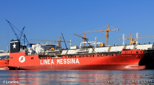
 AL SAMHA
Current Status
Where is the vessel?
AL SAMHA is currently in Near Norfolk, based on AIS data received less than 1h ago.
Latest AIS update:
Current position: 36.86800° N, 76.31850° W (Near Norfolk)
Average speed (last 7 days): Loading…
Average speed (last 30 days): Loading…
Vessel profile: AL SAMHA is a Cargo with dimensions m x m.
This page combines live AIS, route history, probable destination signals, nearby traffic, and port activity for practical vessel monitoring.
The current position of vessel AL SAMHA is 36.86800 lat / -76.31850 lng. Updated: 2026-03-30 13:42:07 UTCNearest reference points:
- Near Norfolk
- Near Sewell's Point
- Near Hampton Roads Pt
Currently sailing under the flag of Marshall Islands ![]()
Details:
Live Vessel AL SAMHA Analytics (details, animations, etc.)
Recent AIS points (UTC):
2026-03-30 07:45:14 UTC · 36.86800, -76.31851 · SOG 0 kn · COG -1°2026-03-30 09:39:06 UTC · 36.86802, -76.31851 · SOG 0 kn · COG -1°
2026-03-30 11:51:06 UTC · 36.86800, -76.31850 · SOG 0 kn · COG -1°
2026-03-30 13:42:07 UTC · 36.86800, -76.31850 · SOG 0 kn · COG -1°