 vesseltracker.com
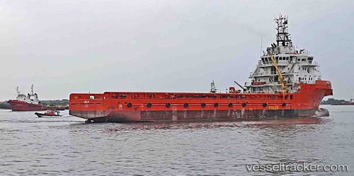
 ANAIAH
Current Status
Where is the vessel?
ANAIAH is currently in Near Lagos, based on AIS data received less than 1h ago.
Latest AIS update:
Current position: 6.43214° N, 3.38894° E (Near Lagos)
Average speed (last 7 days): Loading…
Average speed (last 30 days): Loading…
Vessel profile: ANAIAH is a Offshore Supply Ship with dimensions m x m.
This page combines live AIS, route history, probable destination signals, nearby traffic, and port activity for practical vessel monitoring.
The current position of vessel ANAIAH is 6.43214 lat / 3.38894 lng. Updated: 2026-03-31 23:48:34 UTCNearest reference points:
- Near Lagos
- Near Kirikiri
- Near Apapa
Currently sailing under the flag of Nigeria ![]()
ANAIAH built in 2014 year
Deadweight:
5114 tDetails:
Live Vessel ANAIAH Analytics (details, animations, etc.)
Recent AIS points (UTC):
2026-03-31 18:18:55 UTC · 6.43213, 3.38898 · SOG 0 kn · COG 268°2026-03-31 19:52:43 UTC · 6.43213, 3.38897 · SOG 0 kn · COG 267°
2026-03-31 22:24:04 UTC · 6.43214, 3.38893 · SOG 0 kn · COG 267°
2026-03-31 23:48:34 UTC · 6.43214, 3.38894 · SOG 0 kn · COG 267°