 vesseltracker.com
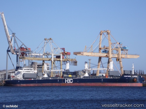
 CETUS BELUGA
Current Status
Where is the vessel?
CETUS BELUGA is currently in Near Angra Dos Reis, based on AIS data received less than 1h ago.
Latest AIS update:
Current position: 23.01241° S, 44.31507° W (Near Angra Dos Reis)
Average speed (last 7 days): Loading…
Average speed (last 30 days): Loading…
Vessel profile: CETUS BELUGA is a Cargo with dimensions m x m.
This page combines live AIS, route history, probable destination signals, nearby traffic, and port activity for practical vessel monitoring.
The current position of vessel CETUS BELUGA is -23.01241 lat / -44.31507 lng. Updated: 2026-04-14 06:17:13 UTCNearest reference points:
- Near SANTA RITA
- Near CUNHAMBEBE
- Near ILHA GUAIBA
Currently sailing under the flag of Marshall Islands ![]()
Details:
Live Vessel CETUS BELUGA Analytics (details, animations, etc.)
Recent AIS points (UTC):
2026-04-13 23:26:14 UTC · -23.01250, -44.31505 · SOG 0 kn · COG 327°2026-04-14 01:26:15 UTC · -23.01242, -44.31504 · SOG 0 kn · COG 327°
2026-04-14 04:11:16 UTC · -23.01239, -44.31509 · SOG 0 kn · COG 327°
2026-04-14 06:17:13 UTC · -23.01241, -44.31507 · SOG 0 kn · COG 327°