 vesseltracker.com
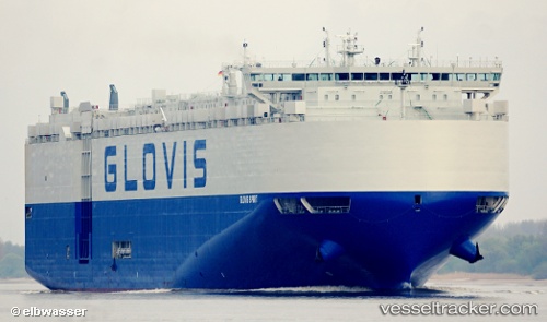
 GLOVIS SPIRIT
Current Status
Where is the vessel?
GLOVIS SPIRIT is currently in 24 nm N of ALDERNEY, based on AIS data received about 2h ago.
Latest AIS update:
Current position: 50.09521° N, 2.41974° W (24 nm N of ALDERNEY)
Average speed (last 7 days): Loading…
Average speed (last 30 days): Loading…
Vessel profile: GLOVIS SPIRIT is a Vehicles Carrier with dimensions 199m x 199m.
This page combines live AIS, route history, probable destination signals, nearby traffic, and port activity for practical vessel monitoring.
The current position of vessel GLOVIS SPIRIT is 50.09521 lat / -2.41974 lng. Updated: 2026-03-29 01:11:44 UTCNearest reference points:
- Near ALDERNEY
- Near Castletown
- 23 nm NW of Saint Sampson
Currently sailing under the flag of Korea (Republic of) ![]()
GLOVIS SPIRIT built in 2013 year
Deadweight:
20138 tDetails:
Live Vessel GLOVIS SPIRIT Analytics (details, animations, etc.)
Recent AIS points (UTC):
2026-03-28 19:49:02 UTC · 50.83784, -1.32040 · SOG 7.8 kn · COG 142°2026-03-28 21:54:25 UTC · 50.53328, -1.00872 · SOG 18 kn · COG 207°
2026-03-29 00:08:08 UTC · 50.21116, -1.96275 · SOG 18.5 kn · COG 248°
2026-03-29 01:11:44 UTC · 50.09521, -2.41974 · SOG 17.1 kn · COG 255°