 vesseltracker.com
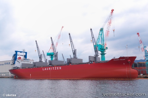
 KAMBOS
Current Status
Where is the vessel?
KAMBOS is currently in Near Puerto Cabello, based on AIS data received less than 1h ago.
Latest AIS update:
Current position: 10.48759° N, 68.03653° W (Near Puerto Cabello)
Average speed (last 7 days): Loading…
Average speed (last 30 days): Loading…
Vessel profile: KAMBOS is a Bulk Carrier with dimensions m x m.
This page combines live AIS, route history, probable destination signals, nearby traffic, and port activity for practical vessel monitoring.
The current position of vessel KAMBOS is 10.48759 lat / -68.03653 lng. Updated: 2026-03-31 00:06:19 UTCNearest reference points:
- Near Bullenbaai
- Near Las Piedras
- 24 nm NW of Palm Beach
Currently sailing under the flag of Marshall Islands ![]()
Details:
Live Vessel KAMBOS Analytics (details, animations, etc.)
Recent AIS points (UTC):
2026-03-30 17:51:19 UTC · 10.48763, -68.03654 · SOG 0 kn · COG 56°2026-03-30 20:09:19 UTC · 10.48761, -68.03654 · SOG 0 kn · COG 56°
2026-03-30 21:27:19 UTC · 10.48760, -68.03651 · SOG 0 kn · COG 56°
2026-03-31 00:06:19 UTC · 10.48759, -68.03653 · SOG 0.1 kn · COG 56°