 vesseltracker.com
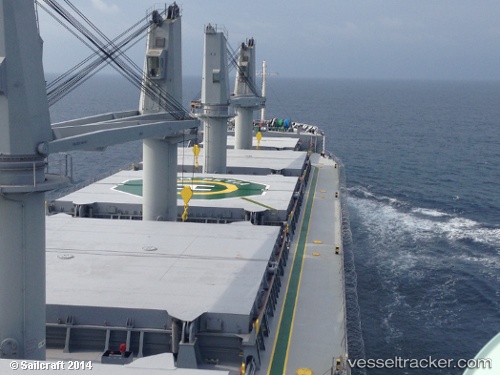
 CAPE GULL
Current Status
Where is the vessel?
CAPE GULL is currently in Near Myrtle Grove, based on AIS data received about 1h ago.
Latest AIS update:
Current position: 29.62830° N, 89.91235° W (Near Myrtle Grove)
Average speed (last 7 days): Loading…
Average speed (last 30 days): Loading…
Vessel profile: CAPE GULL is a Bulk Carrier with dimensions m x m.
This page combines live AIS, route history, probable destination signals, nearby traffic, and port activity for practical vessel monitoring.
The current position of vessel CAPE GULL is 29.62830 lat / -89.91235 lng. Updated: 2026-04-18 03:49:33 UTCNearest reference points:
- Near Pointe a la Hache
- Near Port Sulphur
- Near Meraux
Currently sailing under the flag of Portugal ![]()
Details:
Live Vessel CAPE GULL Analytics (details, animations, etc.)
Recent AIS points (UTC):
2026-04-17 21:52:29 UTC · 29.62831, -89.91231 · SOG 0 kn · COG 304°2026-04-18 00:01:21 UTC · 29.62832, -89.91232 · SOG 0.1 kn · COG 303°
2026-04-18 02:25:34 UTC · 29.62830, -89.91234 · SOG 0.1 kn · COG 303°
2026-04-18 03:49:33 UTC · 29.62830, -89.91235 · SOG 0 kn · COG 302°