 vesseltracker.com
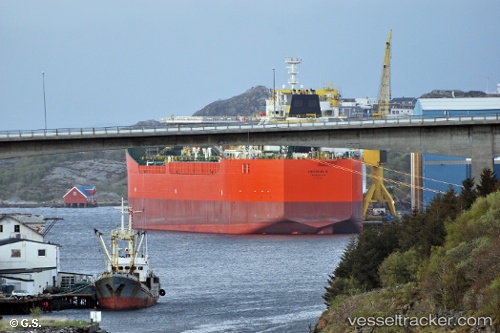
 Heidrun B
Current Status
Where is the vessel?
Heidrun B is currently in Near Heidrun, based on AIS data received about 22h ago.
Latest AIS update:
Current position: 65.34436° N, 7.36645° E (Near Heidrun)
Average speed (last 7 days): Loading…
Average speed (last 30 days): Loading…
Vessel profile: Heidrun B is a [oil_and_chemical_tanker.fso] with dimensions 250m x 250m.
This page combines live AIS, route history, probable destination signals, nearby traffic, and port activity for practical vessel monitoring.
The current position of vessel Heidrun B is 65.34436 lat / 7.36645 lng. Updated: 2026-03-28 06:58:18 UTCNearest reference points:
- Near Smøla
- Near Stranda - Frøya
- Near Dyrvik
Currently sailing under the flag of Norway ![]()
Details:
Live Vessel Heidrun B Analytics (details, animations, etc.)
Recent AIS points (UTC):
2026-03-28 05:19:19 UTC · 65.34439, 7.36611 · SOG 0.3 kn · COG 220°2026-03-28 06:58:18 UTC · 65.34436, 7.36645 · SOG 0.4 kn · COG 224°
2026-03-28 06:58:18 UTC · 65.34436, 7.36645 · SOG 0.4 kn · COG 224°
2026-03-28 06:58:18 UTC · 65.34436, 7.36645 · SOG 0.4 kn · COG 224°