 vesseltracker.com
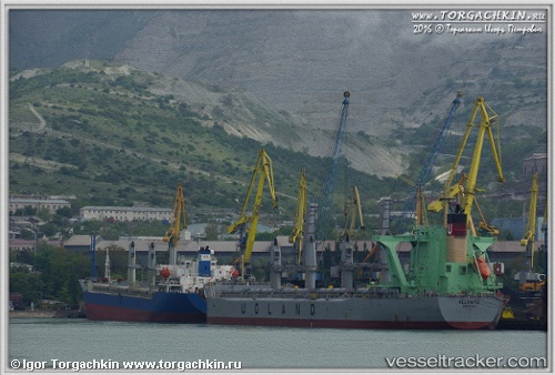
Ellenita
Current StatusWhere is the vessel?
Ellenita is currently in 97 nm E of Sorol Atoll, based on AIS data received about 1h ago.
Latest AIS update:
Current position: 8.12500° N, 142.01500° E (97 nm E of Sorol Atoll)
Average speed (last 7 days): Loading…
Average speed (last 30 days): Loading…
Vessel profile: Ellenita is a Bulk Carrier with dimensions 32m x 190m.
This page combines live AIS, route history, probable destination signals, nearby traffic, and port activity for practical vessel monitoring.
The current position of vessel Ellenita is 8.12500 lat / 142.01500 lng. Updated: 2026-03-31 11:53:39 UTCDetails:
Live Vessel Ellenita Analytics (details, animations, etc.)
Recent AIS points (UTC):
2026-03-31 06:23:40 UTC · 9.34833, 141.58501 · SOG 13 kn · COG -1°2026-03-31 07:59:39 UTC · 8.99500, 141.71832 · SOG 14 kn · COG -1°
2026-03-31 10:02:44 UTC · 8.52500, 141.85333 · SOG 13 kn · COG -1°
2026-03-31 11:53:39 UTC · 8.12500, 142.01500 · SOG 13 kn · COG -1°