 vesseltracker.com
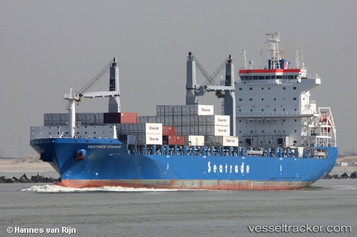
 CMA CGM ORANGE
Current Status
Where is the vessel?
CMA CGM ORANGE is currently in 212 nm SE of NANTUCKET, based on AIS data received about 2h ago.
Latest AIS update:
Current position: 38.12833° N, 68.03833° W (212 nm SE of NANTUCKET)
Average speed (last 7 days): Loading…
Average speed (last 30 days): Loading…
Vessel profile: CMA CGM ORANGE is a Cargo D with dimensions m x m.
This page combines live AIS, route history, probable destination signals, nearby traffic, and port activity for practical vessel monitoring.
The current position of vessel CMA CGM ORANGE is 38.12833 lat / -68.03833 lng. Updated: 2026-04-19 05:31:39 UTCNearest reference points:
- 273 nm SE of NANTUCKET
- 126 nm SE of Offshore Ambrose
- 187 nm SE of Offshore Ambrose
Currently sailing under the flag of Malta ![]()
Details:
Live Vessel CMA CGM ORANGE Analytics (details, animations, etc.)
Recent AIS points (UTC):
2026-04-18 23:39:46 UTC · 37.83833, -70.48833 · SOG 16 kn · COG -1°2026-04-19 01:37:06 UTC · 37.81667, -69.71833 · SOG 20 kn · COG -1°
2026-04-19 03:46:28 UTC · 37.91667, -68.77333 · SOG 22 kn · COG -1°
2026-04-19 05:31:39 UTC · 38.12833, -68.03833 · SOG 20 kn · COG -1°