 vesseltracker.com
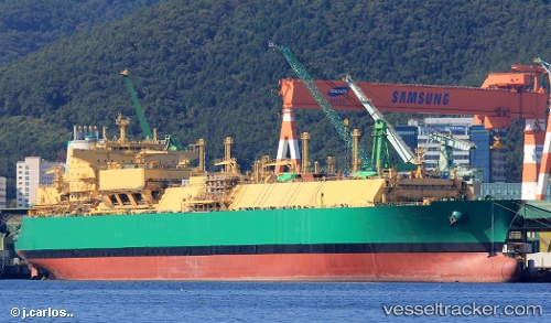
Lng Abuja Ii
Current StatusWhere is the vessel?
Lng Abuja Ii is currently in 12 nm W of Fresnaye, based on AIS data received less than 1h ago.
Latest AIS update:
Current position: 33.89331° S, 18.15270° E (12 nm W of Fresnaye)
Average speed (last 7 days): Loading…
Average speed (last 30 days): Loading…
Vessel profile: Lng Abuja Ii is a Lng Tanker with dimensions 48m x 292m.
This page combines live AIS, route history, probable destination signals, nearby traffic, and port activity for practical vessel monitoring.
The current position of vessel Lng Abuja Ii is -33.89331 lat / 18.15270 lng. Updated: 2026-04-16 04:20:46 UTCNearest reference points:
- 12 nm W of ROBBEN ISLAND
- Near HOUT BAY
- Near Cape Town
Details:
Live Vessel Lng Abuja Ii Analytics (details, animations, etc.)
Recent AIS points (UTC):
2026-04-15 21:29:51 UTC · -32.97422, 16.57737 · SOG 15.8 kn · COG 144°2026-04-16 00:10:03 UTC · -33.53761, 17.08100 · SOG 16.1 kn · COG 146°
2026-04-16 02:13:07 UTC · -33.80693, 17.60158 · SOG 15.1 kn · COG 99°
2026-04-16 04:20:46 UTC · -33.89331, 18.15270 · SOG 4.9 kn · COG 92°