 vesseltracker.com
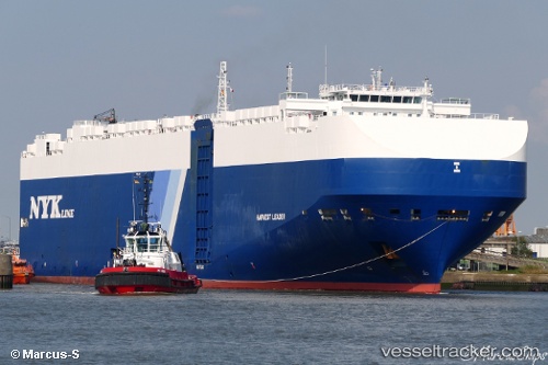
Harvest Leader
Current StatusWhere is the vessel?
Harvest Leader is currently in 25 nm W of Buenaventura, based on AIS data received less than 1h ago.
Latest AIS update:
Current position: 3.87138° N, 77.49327° W (25 nm W of Buenaventura)
Average speed (last 7 days): Loading…
Average speed (last 30 days): Loading…
Vessel profile: Harvest Leader is a Vehicles Carrier with dimensions 36m x 200m.
This page combines live AIS, route history, probable destination signals, nearby traffic, and port activity for practical vessel monitoring.
The current position of vessel Harvest Leader is 3.87138 lat / -77.49327 lng. Updated: 2026-04-13 10:07:40 UTCNearest reference points:
- 33 nm W of Buenaventura
- Near Buenaventura
Details:
Live Vessel Harvest Leader Analytics (details, animations, etc.)
Recent AIS points (UTC):
2026-04-13 03:38:59 UTC · 5.42961, -78.29198 · SOG 15.8 kn · COG 155°2026-04-13 05:58:48 UTC · 4.86301, -78.01384 · SOG 16 kn · COG 156°
2026-04-13 07:36:19 UTC · 4.46608, -77.82068 · SOG 15.8 kn · COG 150°
2026-04-13 10:07:40 UTC · 3.87138, -77.49327 · SOG 15.7 kn · COG 145°