 vesseltracker.com
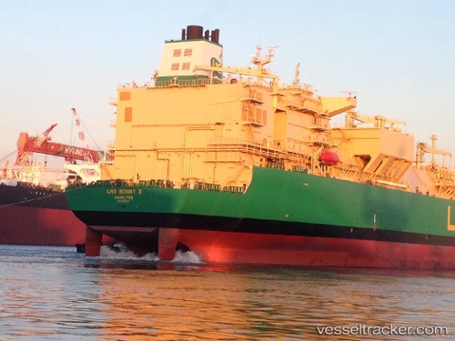
 Lng Bonny Ii
Current Status
Where is the vessel?
Lng Bonny Ii is currently in 161 nm NW of San Antonio de Palé, based on AIS data received about 1h ago.
Latest AIS update:
Current position: 0.06930° N, 3.35173° E (161 nm NW of San Antonio de Palé)
Average speed (last 7 days): Loading…
Average speed (last 30 days): Loading…
Vessel profile: Lng Bonny Ii is a Lng Tanker with dimensions 299m x 46m.
This page combines live AIS, route history, probable destination signals, nearby traffic, and port activity for practical vessel monitoring.
The current position of vessel Lng Bonny Ii is 0.06930 lat / 3.35173 lng. Updated: 2026-03-25 23:40:40 UTCNearest reference points:
- 138 nm E of SAO LUIS
Currently sailing under the flag of Bermuda ![]()
Details:
Live Vessel Lng Bonny Ii Analytics (details, animations, etc.)
Recent AIS points (UTC):
2026-03-25 18:17:56 UTC · 1.36504, 3.74428 · SOG 15.1 kn · COG 196°2026-03-25 19:28:33 UTC · 1.08334, 3.66362 · SOG 14.7 kn · COG 197°
2026-03-25 21:40:07 UTC · 0.55750, 3.50622 · SOG 14.9 kn · COG 197°
2026-03-25 23:40:40 UTC · 0.06930, 3.35173 · SOG 15.2 kn · COG 196°