 vesseltracker.com
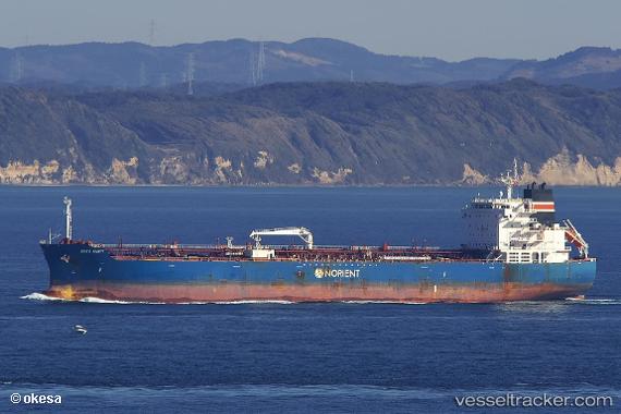
 GOUSEA
Current Status
Where is the vessel?
GOUSEA is currently in Near Lillo, based on AIS data received about 2h ago.
Latest AIS update:
Current position: 51.28915° N, 4.33947° E (Near Lillo)
Average speed (last 7 days): Loading…
Average speed (last 30 days): Loading…
Vessel profile: GOUSEA is a Tanker with dimensions m x m.
This page combines live AIS, route history, probable destination signals, nearby traffic, and port activity for practical vessel monitoring.
The current position of vessel GOUSEA is 51.28915 lat / 4.33947 lng. Updated: 2026-03-26 07:25:22 UTCNearest reference points:
- Near Antwerp
- Near Kallo
- Near Doel
Currently sailing under the flag of Marshall Islands ![]()
Details:
Live Vessel GOUSEA Analytics (details, animations, etc.)
Recent AIS points (UTC):
2026-03-26 01:37:20 UTC · 51.28933, 4.33932 · SOG 0 kn · COG 150°2026-03-26 04:01:21 UTC · 51.28922, 4.33938 · SOG 0 kn · COG 150°
2026-03-26 06:22:21 UTC · 51.28923, 4.33933 · SOG 0 kn · COG 150°
2026-03-26 07:25:22 UTC · 51.28915, 4.33947 · SOG 0 kn · COG 150°